Navigating the Trail: Using Maps, Compasses & GPS
Knowing how to navigate safely in the wilderness is an essential skill for any hiker. Whether you’re tackling a short day hike or planning a multi-day backpacking trip, the ability to orient yourself and find your way back is paramount. Modern technology offers many options, but understanding traditional methods is still incredibly valuable – and sometimes necessary – when electronics fail. This article will cover the basics of using maps, compasses, and GPS devices, providing you with the knowledge to confidently navigate the trail.
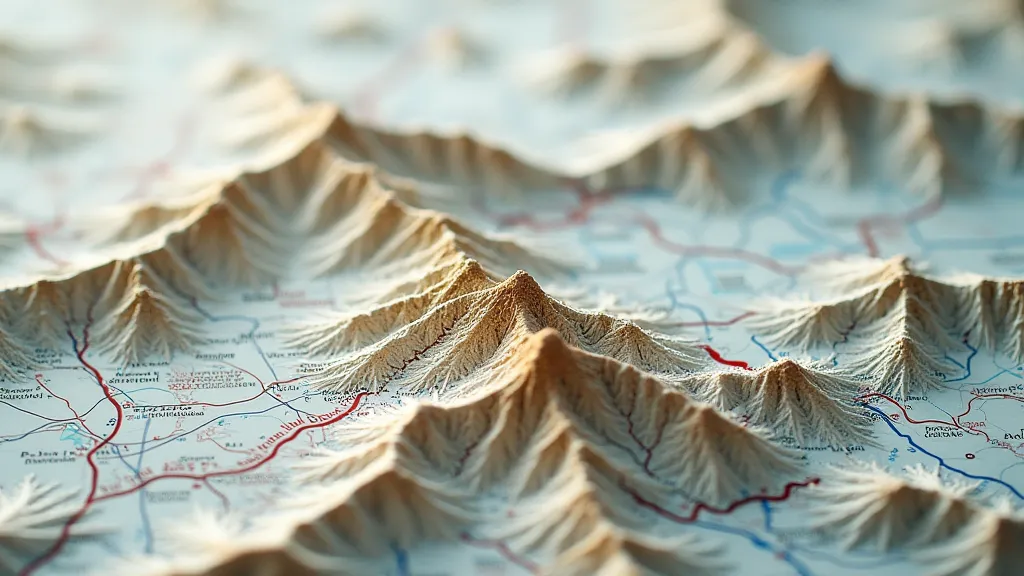
Understanding Topographic Maps
Topographic maps are specialized maps that depict elevation changes using contour lines. Each contour line connects points of equal elevation. The closer the lines are to each other, the steeper the terrain. Learning to "read" these lines allows you to visualize the landscape even before you set foot on the trail.
Key map features to look for:
- Legend: Explains the symbols and colors used on the map.
- Scale: Shows the relationship between distances on the map and distances in the real world.
- North Arrow: Indicates true north.
- Contour Interval: The vertical distance between contour lines.
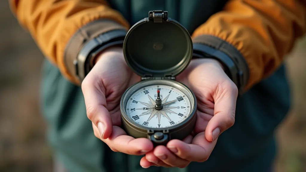
Mastering the Compass
A compass is a simple yet powerful tool for determining direction. While GPS devices are convenient, a compass requires no batteries and functions independently of satellite coverage.
Basic Compass Skills:
- Orienting the Compass: Rotating the compass housing until the orienting arrow points north, matching the magnetic north indicated on your map.
- Taking a Bearing: Pointing the direction-of-travel arrow at your destination on the map, and reading the degree value where the orienting arrow aligns with the degree markings.
- Following a Bearing: Turning your body until the needle aligns with the orienting arrow, and then walking in that direction.
Declination: Remember to account for magnetic declination, the difference between true north and magnetic north. This varies depending on your location and is usually indicated on the map. Adjust your compass accordingly.
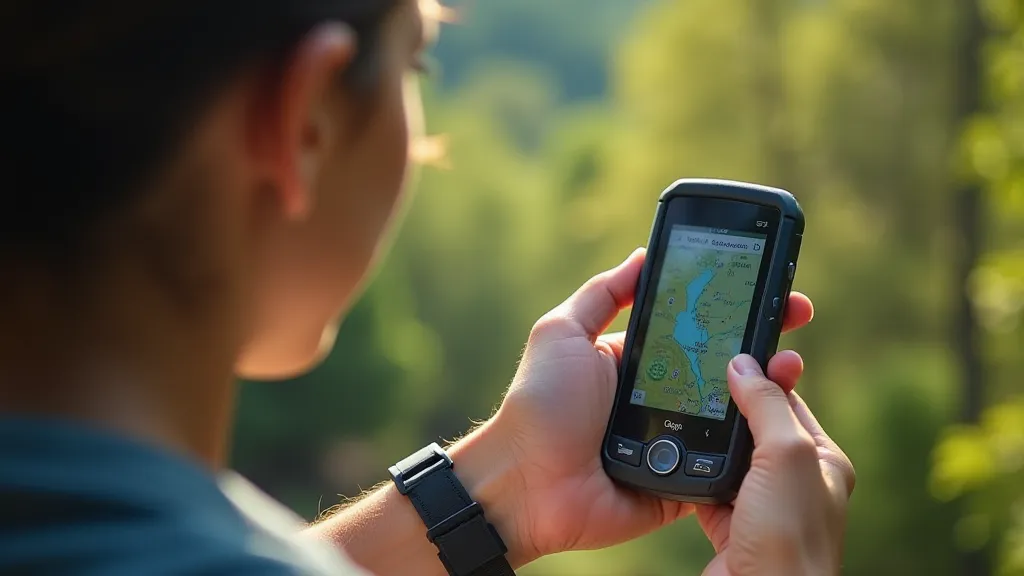
GPS Devices: A Modern Advantage
GPS (Global Positioning System) devices use satellites to pinpoint your location and provide navigation assistance. They are incredibly useful for marking waypoints, tracking your progress, and even downloading trails.
Benefits of using a GPS:
- Precise Location: GPS provides accurate coordinates.
- Trail Downloading: Many devices allow you to download trail maps directly to your device.
- Waypoint Marking: Easily mark campsites, water sources, and other important locations.
- Tracking: Record your route and distance traveled.
Important Considerations:
- Battery Life: Carry extra batteries or a power bank.
- Signal Strength: GPS signals can be blocked by dense forest or steep terrain.
- Reliability: GPS devices are electronic and can fail. Don't rely solely on them!
Combining Methods: The Best Approach
The most reliable approach is to combine these methods. Use a map and compass to understand your surroundings and plan your route. Use a GPS for added convenience and to mark key locations. And most importantly, always practice your navigation skills before heading out on a challenging hike.

By mastering these essential navigation skills, you'll be better prepared to tackle any trail and enjoy the beauty of the outdoors with confidence.